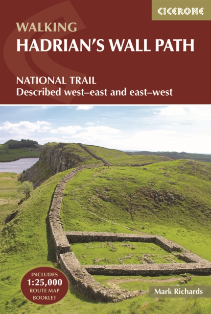
Hadrian's Wall Path : National Trail: Described west-east and east-west
A comprehensive guidebook to the 135km (84-mile) Hadrian's Wall Path National Trail across northern England.
Affiliate link: We may earn a commission if you buy through this link, at no extra cost to you.
About the book
Walk through history on the Hadrian's Wall Path, a remarkable National Trail following the line of the ancient Roman frontier across northern England, from Bowness-on-Solway in Cumbria to Wallsend, Newcastle. Accessible to first-time long-distance walkers yet equally rewarding for seasoned hikers, the trail winds through rolling farmland, wild moorland, and remarkable Roman sites, including ancient forts, milecastles, and exposed stretches of the Wall itself. This Cicerone guidebook features detailed route descriptions covering the entire trail in both directions, west to east or east to west, plus an optional extension to South Shields to complete the coast-to-coast. The route is divided into 10 manageable stages, each with detailed mapping, distance information, and route descriptions. An accompanying OS 1:25,000 map booklet with the full route line clearly marked enables easy and accurate navigation, while downloadable GPX files provide a simple digital navigation option for smartphone apps. Practical planning information helps you adapt the walk to your own pace, with accommodation listings in key centres like Carlisle, Penrith, and Hexham, alternative walking schedules, and route options. Public transport details are listed for every stage, including trail diversions to Haltwhistle, Bardon Mill, and Corbridge stations, making it easy for section hikers to devise an itinerary that suits their needs. The guide also enriches your journey with authoritative context on world-class archaeological sites including Birdoswald, Housesteads, Vindolanda, and the dramatic crags of Steel Rigg, helping you understand the significance of this historic landscape as you walk.
Book details
Published by Cicerone Press