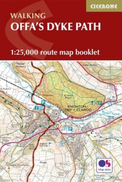
Offa's Dyke Map Booklet : 1:25,000 OS Route Mapping
Running for 177 miles (285km) along the English–Welsh border, the Offa's Dyke Path National Trail follows one of Britain's most remarkable ancient monuments from Sedbury near Chepstow to Prestatyn.
Affiliate link: We may earn a commission if you buy through this link, at no extra cost to you.
About the book
This rewarding long-distance trail typically takes around two weeks to complete, passing through varied landscapes including the Wye Valley, Black Mountains and Clwydian Range. The Offa's Dyke Map Booklet is a compact, lightweight walking map and trail navigation companion featuring the entire route on detailed Ordnance Survey 1:25,000 mapping. Designed for use on the move, it provides clear, reliable navigation in a convenient pocket-sized format. The clearly marked trail line guides you along the English–Welsh border through all the key sections, from the Wye Valley to the Black Mountains and Clwydian Range, with continuous mapping across the entire trail in one booklet—no need to juggle multiple map sheets. Perfect for remote hill paths, farmland and upland ridges, this lightweight, pocket-sized design keeps navigation simple so you can focus on the scenery, history, and quiet charm of the borderlands. For step-by-step route descriptions and planning advice, the accompanying Cicerone guidebook Offa's Dyke Path is also available.
Book details
Published by Cicerone Press