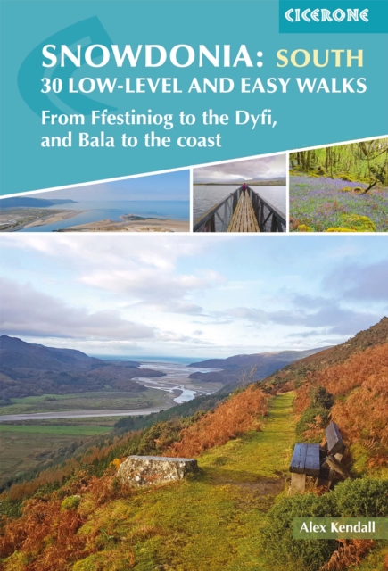
Snowdonia: 30 Low-level and Easy Walks - South : From Ffestiniog to the Dyfi, and Bala to the coast
A Cicerone guidebook featuring 30 day walks across southern Snowdonia Discover the quieter landscapes of southern Eryri National Park, where wooded valleys, estuaries and rugged hills create a wide variety of walking terrain away from the highest peaks.
Affiliate link: We may earn a commission if you buy through this link, at no extra cost to you.
About the book
From the Rhinogydd mountains and the Mawddach Estuary to the lakes and valleys around Bala and Cadair Idris, this region offers peaceful paths through ancient woodland, coastal landscapes and historic Welsh countryside. This guidebook features 30 low-level and easy day walks ranging from 3–19km (2–12 miles), typically taking between 1 and 6 hours. Each walk includes clear step-by-step route descriptions supported by detailed 1:25,000 or 1:50,000 Ordnance Survey mapping to help you navigate the valleys, forests and coastlines. Downloadable GPX files are also available for digital navigation using GPS devices or smartphone apps. The walks explore diverse landscapes, including the Rhinogydd hills, Mawddach Estuary and valleys around Bala, Dolgellau and Cadair Idris. Practical information highlights terrain, local points of interest, and facilities in key centres such as Harlech, Barmouth and Dolgellau, with insights into the history, geology and wildlife that shape the landscape. Whether you're seeking gentle valley walks, coastal paths or scenic routes beneath Snowdonia's dramatic mountains, this guidebook opens the door to some of the most rewarding and accessible walking in Wales.
Book details
Published by Cicerone Press