The Cleveland Way Map Booklet : 1:25,000 OS Route Mapping
Explore the stunning landscapes and rich heritage of the Cleveland Way National Trail, a classic week-long walking route stretching 177 km (110 miles) from Helmsley to Filey across the North York Moors National Park.
Affiliate link: We may earn a commission if you buy through this link, at no extra cost to you.
About the book
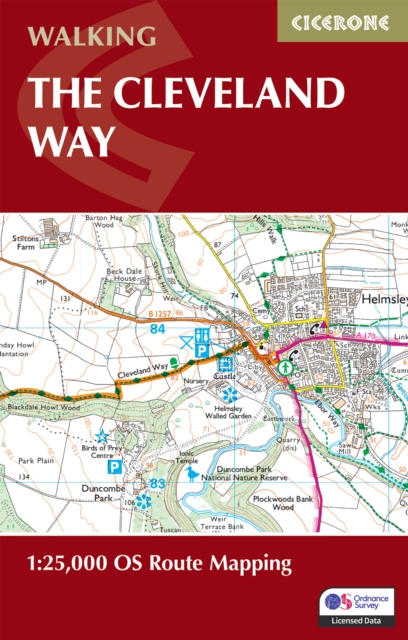
Discover rolling heather moors, dramatic coastal cliffs, peaceful valleys, and historic villages as you journey through some of England's most breathtaking scenery. This detailed map booklet contains everything you need to navigate the Cleveland Way with confidence. Featuring 1:25,000 Ordnance Survey (OS) mapping with the full route clearly marked, it covers the entire trail and is suitable for walking in either direction. The compact, pocket-sized format makes it perfect for carrying in your jacket pocket or backpack, while the included OS Explorer map legend ensures you can read every detail of the landscape ahead. For comprehensive step-by-step route descriptions to complement these maps, the accompanying Cicerone guidebook Walking the Cleveland Way and Yorkshire Wolds Way is also available. Plan your Cleveland Way adventure with confidence, backed by Cicerone's trusted expertise in outdoor guidebooks.
Book details
Published by Cicerone Press