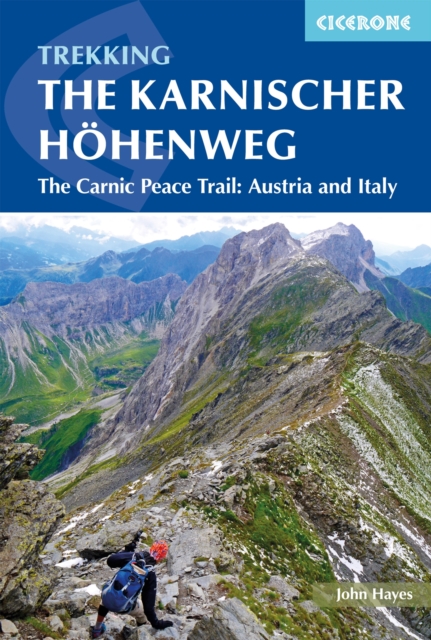
The Karnischer Hohenweg : A 1-2 week trek on the Carnic Peace Trail: Austria and Italy
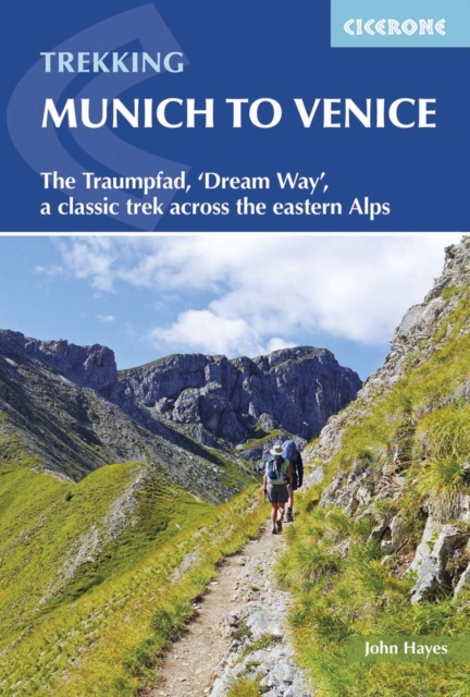
Everything you need to walk one of the Alps' most spectacular long-distance ridge walks The Karnischer Höhenweg — also known as the Carnic Peace Trail or the Carnic High Route — traces the mountain frontier between Austria and Italy along around 170km (106 miles) of dramatic high-level alpine terrain. This expertly crafted Cicerone guidebook provides detailed route descriptions, comprehensive mapping and all the essential logistical guidance you need to complete a rewarding 9–11 day hut-to-hut trek across some of Europe's finest summit scenery. The route is divided into 10 manageable daily sections ranging from 6 to 28km, with detailed 1:50,000 mapping, GPX files and elevation profiles to support safe navigation across exposed ridges, rocky paths and via ferrata sections. Practical guidance covers travel logistics, seasonal considerations, mountain hut booking and kit preparation specific to hut-to-hut trekking between Austria and Italy. Both the Austrian and Italian variants are fully covered, allowing you to choose the line that best suits your experience and interests, with options to climb neighbouring peaks such as Monte Coglians. Beyond its technical challenges, the Karnischer Höhenweg is rich with history and geology. The trail follows a former World War I front line, where open-air museums, tunnels and fortifications punctuate the mountain crest. From sweeping summit views to atmospheric mountain refuges, this cross-border ridge walk combines alpine beauty, historical significance and genuine adventure — a journey for experienced mountain walkers comfortable with exposed terrain and occasional protected scrambling.
Affiliate link: We may earn a commission if you buy through this link, at no extra cost to you.
Book details
Published by Cicerone Press