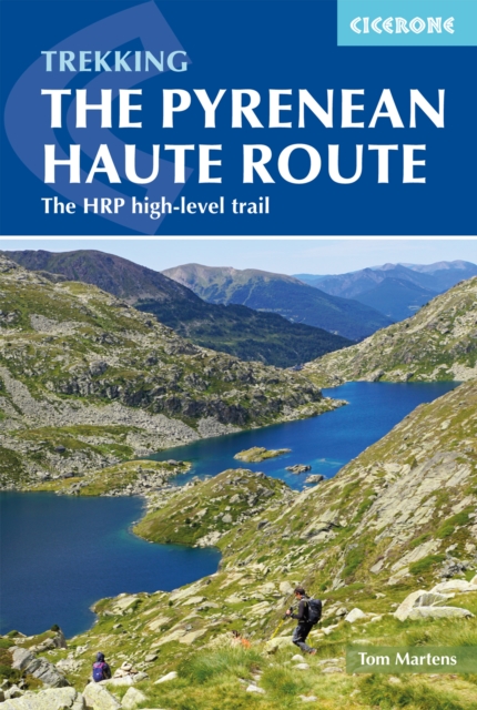
The Pyrenean Haute Route : The HRP high-level trail
A complete guide to one of Europe's most celebrated long-distance trekking trails.
Affiliate link: We may earn a commission if you buy through this link, at no extra cost to you.
About the book
Stretching 748km (465 miles) across the wild heart of the Pyrenees Mountains, the Pyrenean Haute Route (Haute Randonnée Pyrénéenne, HRP) runs from the Atlantic Ocean at Hendaye to the Mediterranean at Banyuls-sur-Mer, following the high ridges of the central range along the France–Spain border. This unwaymarked and challenging trail presents rugged terrain, sustained ascents and descents, and is suitable for experienced mountain walkers who thrive in remote high country. Written by expert guidebook author Tom Martens, this complete companion provides detailed route descriptions for all 44 stages of the trail, allowing you to plan each day efficiently and move confidently through the mountains. 1:100,000 scale mapping and downloadable GPX files offer precise navigation tools for safety and route certainty, while route summary and facilities tables help you plan your itinerary and locate important resupply points like Gavarnie and Parzán. Comprehensive accommodation information covers everything from unmanned huts to campsites and gîtes along the route. The guide also includes optional ascents of classic summits such as Vignemale, Le Taillon and Pico de Aneto, allowing you to add memorable peak experiences to your long-distance trek. With world-class mountain landscapes—craggy ridges, alpine cirques, glacial remnants, and sweeping high passes—the Pyrenean Haute Route rewards careful planning with some of the most diverse and stunning scenery the Pyrenees have to offer.
Book details
Published by Cicerone Press