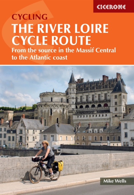
The River Loire Cycle Route : From the source in the Massif Central to the Atlantic coast
A comprehensive guide to cycling France's longest river from source to sea Cycling the Loire means following France's longest river from its dramatic source in the volcanic hills of the Massif Central all the way to the Atlantic coast opposite St Nazaire—a journey of 1061km through some of the most varied and rewarding landscapes in France. The route descends past extinct volcanoes, crater lakes, and deep gorges before joining the fully waymarked Loire à Vélo, France's most popular cycle trail. This comprehensive guidebook describes the full 1061km route in 26 stages, typically completed in 2 to 3 weeks. It includes detailed route descriptions, informative mapping, and practical planning advice for every stage. The 26 stages follow the river downstream through three sections: the Upper Loire from Gerbier de Jonc to Digoin, the Middle Loire from Digoin to Orléans, and the Lower Loire from Orléans to St Nazaire. After Nevers, the route joins EuroVelo route 6 and the Loire à Vélo, passing iconic royal châteaux including Chambord, Blois, Chaumont, Villandry, and Amboise, alongside world-famous vineyards of Sancerre, Touraine, Chinon, Saumur, Anjou, and Muscadet. Each stage features detailed route descriptions supported by 1:50,000 mapping and elevation profiles, plus a full facilities summary, accommodation listings, tourist information offices, and a French glossary. Mostly following asphalt surfaces in good condition, dedicated off-road cycle tracks, and minor roads, this route is comfortable for hybrid or touring cycles. GPX files are available to download for the full route, enabling easy digital navigation throughout all 26 stages. Everything you need to plan and navigate one of Europe's most rewarding long-distance cycle rides awaits.
Affiliate link: We may earn a commission if you buy through this link, at no extra cost to you.
Book details
Published by Cicerone Press