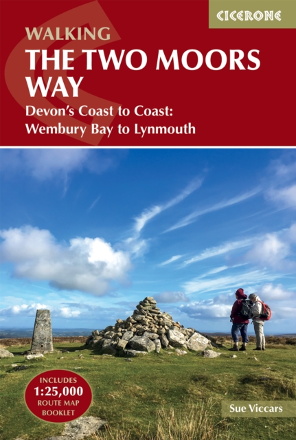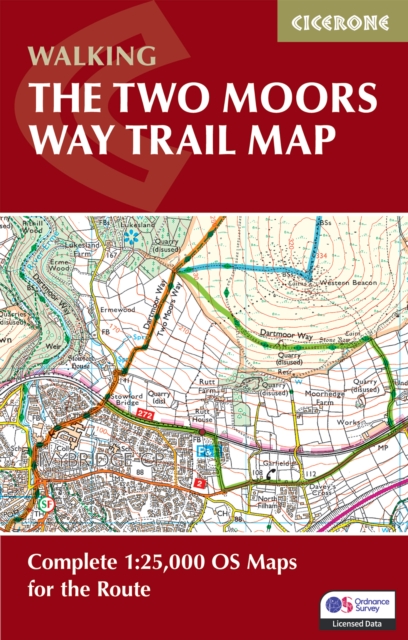
The Two Moors Way Trail Map : Complete 1:25,000 OS Maps for the Route
Explore the dramatic landscapes of Devon and Somerset on one of south-west England's finest long-distance trails.
Affiliate link: We may earn a commission if you buy through this link, at no extra cost to you.
About the book
The Two Moors Way is a classic 188km (117 mile) route linking the wild uplands of Dartmoor and Exmoor. Running from Ivybridge on the southern edge of Dartmoor to Lynmouth on the North Devon coast, the trail crosses open moorland, wooded valleys, historic villages and rolling farmland, showcasing some of south-west England's most spectacular walking country. This essential map booklet provides all the route mapping you need to walk the entire Two Moors Way. Featuring 1:25,000 Ordnance Survey (OS) mapping for accuracy and clarity, it covers the full route from Ivybridge to Lynmouth, including both Dartmoor and Exmoor sections. Compact and portable, it fits easily in your jacket pocket or rucksack, and is suitable for walking in either direction—south to north or north to south. The maps highlight key locations and features along the trail, including Dartmoor National Park, Exmoor National Park, Tarr Steps and Withypool. Whether you're drawn by wild moorland scenery, peaceful river valleys or the challenge of a classic English long-distance trail, this map booklet helps you plan and enjoy every step of your journey. For detailed step-by-step route descriptions, the accompanying Cicerone guidebook The Two Moors Way is also available.
Book details
Published by Cicerone Press