Tour du Mont Blanc Map Booklet : IGN maps and essential resources to plan your hike
Part of the Cicerone series for long-distance walkers. Discover the legendary Tour du Mont Blanc (TMB), a spectacular circuit around the Mont Blanc massif covering 170 km (105 miles) through France, Italy, and Switzerland.
Affiliate link: We may earn a commission if you buy through this link, at no extra cost to you.
About the book
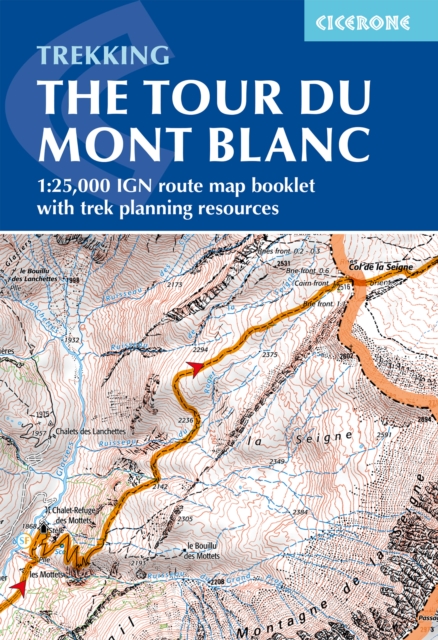
Starting and finishing in Les Houches, this iconic long-distance trek takes you past picturesque alpine villages, glacial valleys, and breathtaking mountain scenery on a rewarding journey through the heart of the Alps. This map book provides all the detailed mapping you need to walk the Tour du Mont Blanc with confidence. It features 1:25,000 IGN maps with the full route line clearly marked, covers the entire TMB circuit including alternative stages via Col de Tricot and Fenêtre d'Arpette, and is suitable for walking in either direction. The compact, pocket-sized format fits easily into your jacket or rucksack, while urban maps of Les Houches, Les Contamines, Courmayeur, Champex, and Chamonix help you navigate key towns along the way. Beyond the maps, you'll find a handy facilities planner, route summary tables, and accommodation listings to help you plan your itinerary with ease. For detailed step-by-step route descriptions, the accompanying Cicerone guidebook Trekking the Tour du Mont Blanc is also available, and GPX files are available to download. Plan your adventure with the trusted experts in outdoor guidebooks and enjoy every stage of this world-renowned trek.
Book details
Published by Cicerone Press