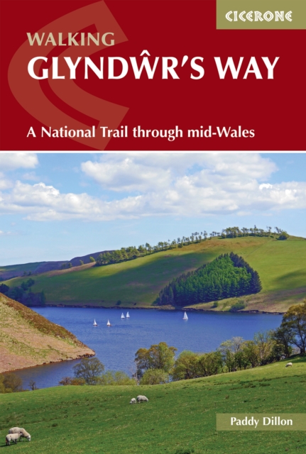
Walking Glyndwr's Way : A National Trail through mid-Wales
A comprehensive guidebook to Glyndwr's Way, a 217km (135 mile) National Trail through mid-Wales.
Affiliate link: We may earn a commission if you buy through this link, at no extra cost to you.
About the book
Winding from Knighton to Welshpool via Machynlleth, this spectacular long-distance trail takes you through the heart of rural Wales. Experience dramatic upland scenery, hidden lakes, historic ruins, and charming market towns as you discover some of the country's most unspoilt landscapes. The route can be completed in around nine days, with daily stages ranging from 18 to 29km (11–18 miles), making it ideal for experienced long-distance walkers. Along the way, you'll encounter stunning highlights including the ruins of Abbeycwmhir, the glacial beauty of Llyn Clywedog, the atmospheric Dylife mines, Machynlleth's Parliament House, Dyfnant Forest, Llyn Efyrnwy, Ann Griffiths Walk, and the magnificent gardens of Powis Castle. Optional additions allow you to extend your adventure by linking sections of Offa's Dyke National Trail or tackling the summit of Pumlumon Fawr for an extra challenge. This guidebook provides everything you need: nine detailed stages with step-by-step route descriptions, 1:50,000 Ordnance Survey maps for each section, downloadable GPX files for GPS devices and smartphone apps, and practical information on accommodation, refreshments, and public transport. You'll also find valuable guidance on preparation, walking safely in upland and forested terrain, and engaging with the cultural and historical heritage of the region, plus a helpful pronunciation guide and topographical glossary for Welsh place names.
Book details
Published by Cicerone Press