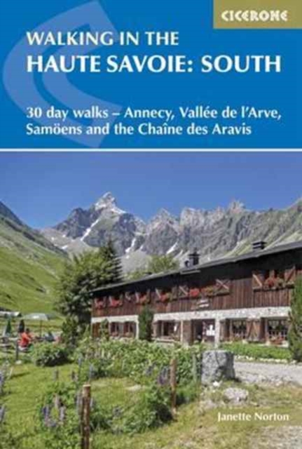
Walking in the Haute Savoie: South : 30 day walks - Annecy, VallA©e de l'Arve, SamoA«ns and the ChaA®ne des Aravis
Part of Cicerone's Walking in the Haute Savoie series Between Chamonix and the glittering waters of Lake Annecy lies a walking paradise that most visitors to the French Alps never discover.
Affiliate link: We may earn a commission if you buy through this link, at no extra cost to you.
About the book
The southern Haute Savoie offers dramatic limestone ridges, flower-rich alpine meadows, hidden mountain lakes, cascading waterfalls and the distinctive peaks of the Chaîne des Aravis and the Haut Giffre. This landscape rivals its more famous neighbours in beauty, without the crowds. This guidebook covers 30 graded day walks across six areas of southern Haute Savoie, ranging from 7 to 20km (4 to 12 miles) and taking between 3 and 8 hours. Routes are suited to both beginners and experienced walkers alike, and include explorations of Lake Annecy and its surrounding mountains (featuring La Tournette, the Cascades d'Angon and the Crête du Taillefer), the dramatic Chaîne des Aravis limestone ridge (including the Trou de la Mouche, Circuit des Annes and Arête des Saix), and the historically significant Plateau de la Borne (home to the Plateau des Glières, site of a celebrated French Resistance stand in 1944). Each route description is paired with 1:50,000 mapping and downloadable GPX files, with detailed planning, accommodation and transport information throughout. Additional features include notes on Savoyard food and drink, history and wildlife, making this an ideal companion for exploring one of the French Alps' most underrated walking regions. Best walked from late spring to early autumn when higher routes are snow-free, this guidebook is complemented by its companion volume, Walking in the Haute Savoie North, which covers the full extent of this outstanding French Alpine destination.
Book details
Published by Cicerone Press