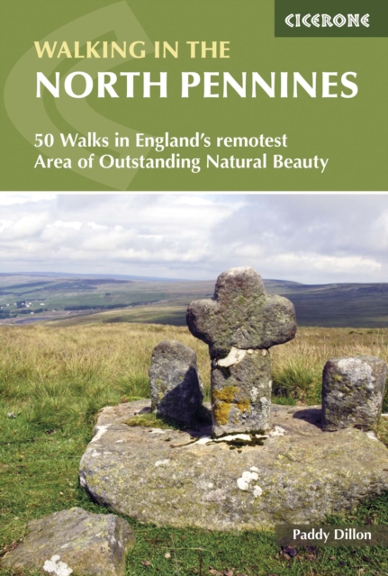
Walking in the North Pennines : 50 Walks in England's remotest Area of Outstanding Natural Beauty
Discover the wild, expansive beauty of the North Pennines National Landscape, one of England's most unspoilt upland regions and a designated UNESCO Global Geopark.
Affiliate link: We may earn a commission if you buy through this link, at no extra cost to you.
About the book
From sweeping moorland plateaus and dramatic dales to tumbling waterfalls, remote hill summits and flower-rich hay meadows, the area offers some of the finest and quietest walking in northern England. This comprehensive guidebook features 44 carefully selected walking routes across the region, ranging from accessible riverside walks to challenging high-level hikes on Cross Fell and the Pennine watershed. Routes vary from short 9 km (6 miles) strolls to full-day hikes of up to 24 km (15 miles), suitable for a wide range of abilities. The walks explore Upper Teesdale, Weardale, Allendale, the South Tyne valley, and the high moors around Cross Fell, the highest point in the Pennines. Each route comes with detailed descriptions, clear OS 1:50,000 maps and downloadable GPX files to make navigation straightforward across open moorland and dale paths. Practical information on access, parking, public transport and local facilities in towns like Brampton, Hexham and Kirkby Stephen helps you plan each walk with confidence. Highlights include High Force and Cauldron Snout waterfalls, the dramatic landscape of High Cup Nick, sweeping views from the Pennine Way, and remote heather-clad fells rich in wildlife. Whether you're building confidence on shorter routes or ticking off classic Pennine summits, this guidebook helps you uncover the North Pennines' hidden corners and iconic landmarks, creating memorable days out in one of England's most atmospheric upland landscapes.
Book details
Published by Cicerone Press