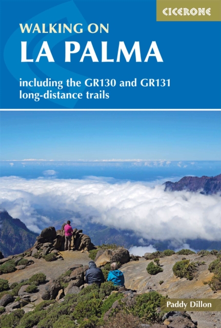
Walking on La Palma : Including the GR130 and GR131 long-distance trails
Part of the 5-volume Cicerone series covering walking across all of the Canary Islands.
Affiliate link: We may earn a commission if you buy through this link, at no extra cost to you.
About the book
La Palma is one of the greenest and most dramatic of the Canary Islands, home to the Caldera de Taburiente National Park, ancient laurisilva cloud forest, deep and rugged barrancos, and the highest peaks in the archipelago, including Roque de los Muchachos. With day walks and two long-distance trails, it rewards walkers of every ability with landscapes found nowhere else in the Canary Islands. This second edition guidebook describes 34 day walks ranging from 6 to 32km (4 to 20 miles) and taking 2 to 10 hours, plus the GR130 and GR131 long-distance trails. The 34 day walks cover the full island from Santa Cruz de La Palma and the Caldera de Taburiente national park to the Canary pine forests of Refugio del Pilar, Roque de los Muchachos, and the laurisilva cloud forest of Los Tilos. The GR130, a circular long-distance walk around La Palma, is described in 8 stages covering 167km (104 miles), while the GR131 crosses the island's highest mountains in 3 stages over 68km (42 miles) and is part of a longer route across all seven of the Canary Islands. Every route is accompanied by 1:50,000 maps and detailed information on planning, facilities, and public transport. All routes are waymarked and signposted with no special equipment required. Background sections cover La Palma's geology, wildlife, and national parks alongside practical information on food and drink and a Spanish-English glossary. Detailed accommodation information is provided throughout, with bases across the island including Santa Cruz de La Palma, Los Llanos, Fuencaliente, Refugio del Pilar, Tijarafe, and Barlovento.
Book details
Published by Cicerone Press