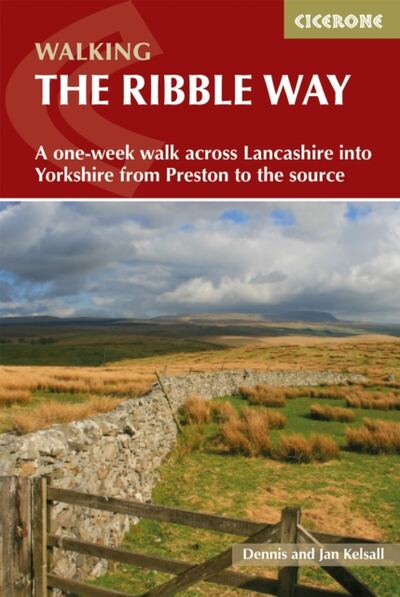
Walking the Ribble Way : A one-week walk across Lancashire into Yorkshire from Preston to the source
A comprehensive Cicerone guidebook to the full 72-mile Ribble Way
This audiobook is no longer available from Audible UK.
Affiliate link: We may earn a commission if you buy through this link, at no extra cost to you.
Amazon UK price: (as of · ) Product prices and availability are accurate as of the date/time indicated and are subject to change. Any price and availability information displayed on Amazon.co.uk at the time of purchase will apply to the purchase of this product.
About the book
Discover the Ribble Way, a captivating long-distance walk that follows the full course of the River Ribble from the Lancashire coast to its remote source in the Yorkshire Dales. Spanning 72 miles (116km), this scenic route invites walkers of all abilities to experience the rich diversity of northwest England's landscapes, wildlife, and historic villages. Whether you're a first-time long-distance walker or a seasoned rambler, the Ribble Way can be completed within a week or enjoyed as shorter day walks, thanks to excellent public transport links and flexible route options.
Nature lovers will delight in the Ribble Valley's abundant flora and fauna, from bluebells in woodland to winter flocks of geese in the marshes. The riverbanks attract kingfishers and herons year-round, while the hills offer sweeping views over Pendle and Bowland. Along the way, you'll pass through attractive villages including Ribchester and Horton in Ribblesdale, cross iconic bridges at Penwortham, Brungerley, and Gisburn, and reach the wild fells and dramatic limestone scenery at the river's source on Cam Fell.
This definitive guidebook breaks the 72-mile journey into seven manageable stages with detailed descriptions, route summary tables, distance and terrain information, and facilities for each section. Extracts from 1:50,000 OS Landranger maps, elevation profiles, and GPX files make navigation straightforward. Practical advice covers planning, transport, accommodation, baggage transfer, parking, bus and train connections, and local facilities, ensuring both start and finish points are accessible by public transport. Historical features, local heritage, and points of interest throughout the route are also highlighted, making this the essential companion for planning your Ribble Way adventure.
At a glance
- Distance
- 72 miles
- Maps
- 1:50,000
- Navigation
- GPX files
From the publisher's description.
Book details
Published by Cicerone Press
More like this: England · Lancashire · United Kingdom