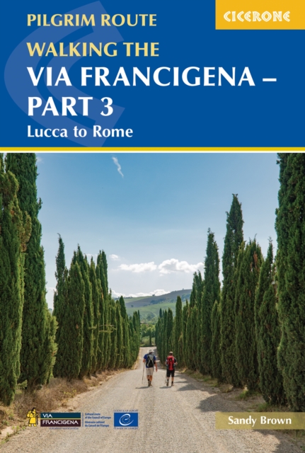
Walking the Via Francigena Pilgrim Route - Part 3 : Lucca to Rome
Walk 413km (255 miles) through the heart of Italy on Part 3 of the world-famous Via Francigena pilgrimage route.
Affiliate link: We may earn a commission if you buy through this link, at no extra cost to you.
About the book
Journey through rolling Tuscan hills, historic towns, and sacred sites as you make your way from Lucca to Rome. This central-southern section of the renowned 2000km route threads through medieval villages, vineyards, and iconic landmarks, passing through the walled town of San Gimignano, the historic streets of Siena, the medieval centre of Viterbo, and the ancient temples of Sutri before culminating at Rome's magnificent Piazza San Pietro. Suitable for walkers of most abilities, this section requires moderate fitness due to hilly terrain and can be completed in under three weeks. The route is presented in 18 stages of 14–33 km (9–20 miles), each with distance, estimated walking time, ascent and descent, and terrain summaries to help you plan daily sections and manage the landscape confidently. This comprehensive guidebook includes 1:100,000 mapping for the full route plus larger-scale town maps for key locations including Lucca, Siena, Viterbo, and Rome and the Vatican City. GPX files are provided for digital navigation on GPS devices and smartphone apps, while detailed accommodation listings, pilgrim lodging options, and refreshment points support comfortable walking throughout. Handy route summary tables and practical planning advice cover facilities, public transport links, and essential tips for preparation and packing, so you can walk the Via Francigena with confidence.
Book details
Published by Cicerone Press