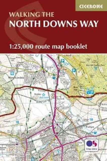
North Downs Way Map Booklet
The complete North Downs Way on detailed Ordnance Survey mapping in a pocket-sized format.
Affiliate link: We may earn a commission if you buy through this link, at no extra cost to you.
About the book
Stretching 130 miles (208km) across southern England, the North Downs Way National Trail runs from Farnham to Dover through the rolling chalk landscapes of Surrey and Kent. This beginner-friendly long-distance trail typically takes 11–12 days and offers a classic journey through the English countryside, historic routes and far-reaching viewpoints. The North Downs Way Map Booklet is a compact, lightweight walking companion featuring the entire route on detailed OS 1:25,000 mapping. The clearly marked trail line guides you across the Surrey Hills and Kent Downs, with all key junctions highlighted. An alternative route via Canterbury is also included, should you wish to explore this historic city. The continuous mapping format in a pocket-sized booklet eliminates the need for multiple separate map sheets, making it ideal for keeping navigation simple and stress-free as you walk. Perfect for planning daily distances and tracking your progress along the trail, this stage-friendly layout helps you prepare for your journey with ease. Whether you're planning your first long-distance walk or returning to explore new sections, the North Downs Way Map Booklet keeps you on course. For step-by-step route descriptions and planning advice, the accompanying Cicerone guidebook Walking the North Downs Way is also available.
Book details
Published by Cicerone Press