The Ridgeway Map Booklet : 1:25,000 OS Route Mapping
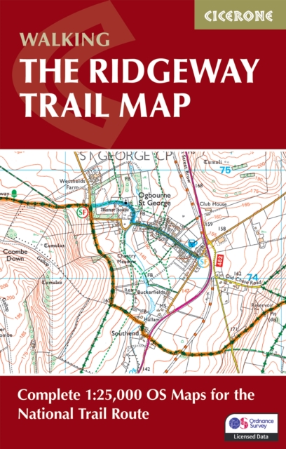
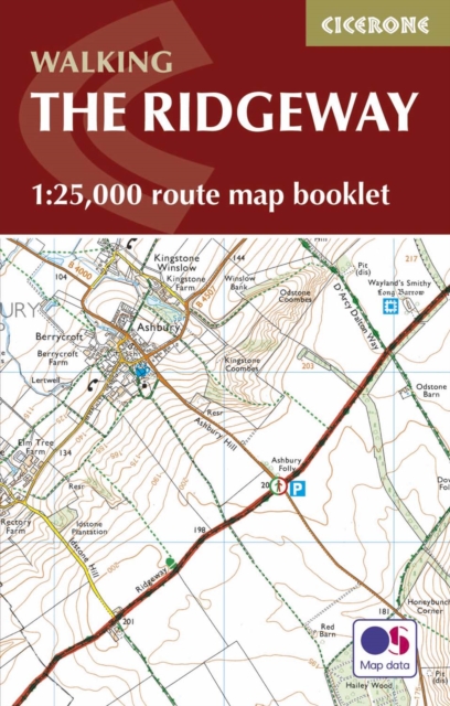
The complete Ridgeway National Trail on detailed Ordnance Survey 1:25,000 mapping Stretching 87 miles (139km) across southern England, the Ridgeway National Trail runs from Avebury in Wiltshire to Ivinghoe Beacon in Buckinghamshire along one of Britain's oldest roads.
Affiliate link: We may earn a commission if you buy through this link, at no extra cost to you.
About the book
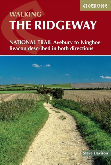
This low-level, accessible long-distance trail typically takes 6–9 days and passes through the North Wessex Downs and Chiltern Hills, offering sweeping views and a journey through thousands of years of history. The Ridgeway Map Booklet is a compact, lightweight walking map and navigation companion featuring the entire route on detailed Ordnance Survey 1:25,000 mapping. Designed for use on the move, it provides clear, reliable navigation in a convenient pocket-sized format. The booklet includes the full trail line across the North Wessex Downs and Chiltern Hills, with clearly marked detours to historic and archaeological sites along the way. Continuous mapping across the entire route eliminates the need for multiple separate map sheets, and the lightweight design means you can walk the trail in either direction without carrying unnecessary bulk. Whether you're following ancient trackways past prehistoric monuments or enjoying wide-open chalk downland, the Ridgeway Map Booklet keeps navigation simple and stress-free, helping you focus on the history, landscapes and experience of this iconic National Trail. For step-by-step route descriptions and planning advice, the Cicerone guidebook Walking the Ridgeway is also available.
Book details
Published by Cicerone Press