The Ridgeway Trail Map : Complete 1:25,000 OS Maps for the National Trail Route
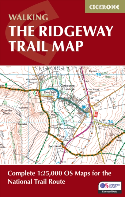
The complete 1:25,000 Ordnance Survey mapping for the Ridgeway National Trail Discover the ancient landscapes and rich heritage of southern England on the Ridgeway National Trail.
Affiliate link: We may earn a commission if you buy through this link, at no extra cost to you.
About the book
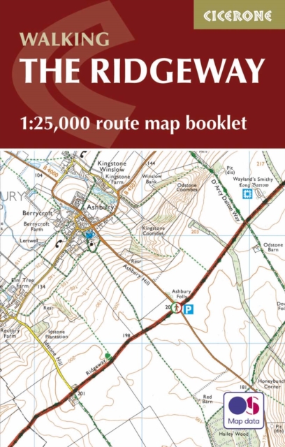
Stretching 139km (87 miles) from Avebury in Wiltshire to Ivinghoe Beacon in Buckinghamshire, this historic trail follows chalk ridges, rolling downland, and wooded valleys along Britain's oldest road. The Ridgeway is a mostly low-level route, suitable for all abilities, that takes 6 to 9 days to hike. This map book provides everything you need to walk the trail with confidence. It features detailed 1:25,000 Ordnance Survey mapping showing the full route with clarity and precision, covering the trail in both directions across 12 stages. The guide also includes detours and diversions to nearby historic and archaeological sites, from Neolithic burial mounds to Iron Age hill forts. Extracts from the OS Explorer map legend are provided for easy reference while on the trail. Compact and portable, this map booklet is sized to fit easily in a jacket pocket or daypack, making it the perfect companion for your walking adventure. Whether you're exploring ancient trackways, enjoying scenic chalk downs, or planning a week-long journey, you can navigate the Ridgeway National Trail with ease.
Book details
Published by Cicerone Press