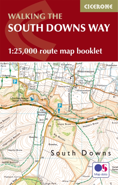
The South Downs Way Map Booklet : 1:25,000 OS Route Mapping
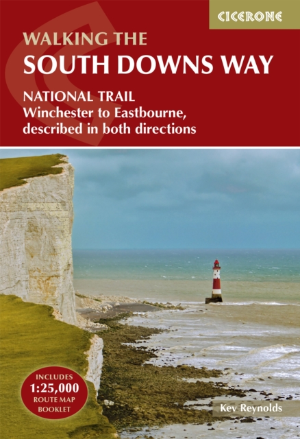
Stretching 100 miles (160km) across southern England, the South Downs Way National Trail runs from Winchester to Eastbourne through the rolling chalk landscapes of the South Downs National Park.
Affiliate link: We may earn a commission if you buy through this link, at no extra cost to you.
About the book
Thought to be one of the easier long-distance National Trails in England, it is suitable for walkers and horse riders alike and typically takes around a week to complete. The South Downs Way Map Booklet is a compact, lightweight walking map and navigation companion featuring the entire route on detailed Ordnance Survey 1:25,000 mapping. Designed for use on the move, it provides clear, reliable mapping in a convenient pocket-sized format that eliminates the need for multiple separate map sheets. The booklet works in either direction, with the relevant OS Explorer map legend included for easy reference. This practical guide clearly marks the trail line through the South Downs National Park, including key highlights such as Beachy Head, Ditchling Beacon, Butser Hill and the Seven Sisters. Whether you're planning your first long-distance walk or returning to explore new sections, the South Downs Way Map Booklet keeps navigation simple and stress-free. For step-by-step route descriptions and planning advice, the accompanying Cicerone guidebook, The South Downs Way, is also available.
Book details
Published by Cicerone Press