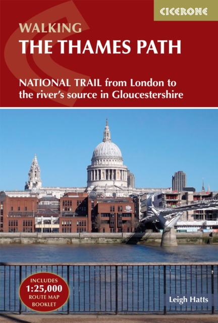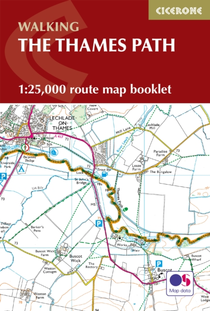
The Thames Path Map Booklet : 1:25,000 OS Route Map Booklet
Experience the scenic charm and riverside adventure of the Thames Path National Trail, following the River Thames for 294 km (184 miles) through the heart of London to its source in the Cotswolds.
Affiliate link: We may earn a commission if you buy through this link, at no extra cost to you.
About the book
Travel through picturesque villages, historic towns, and tranquil countryside, with highlights including Oxford, Windsor, Henley-on-Thames, and the vibrant cityscapes of London. This detailed map booklet provides everything you need to navigate the entire trail with confidence, whether you're walking from the Thames Barrier to the Cotswolds or in the opposite direction. What's included: 1:25,000 Ordnance Survey (OS) maps covering the complete National Trail, compact and easy to carry in your jacket pocket or backpack, and suitable for walking in either direction. For comprehensive step-by-step route descriptions, the accompanying Cicerone guidebook 'Walking the Thames Path' is also available. Part of a series designed specifically for National Trail walkers.
Book details
Published by Cicerone Press